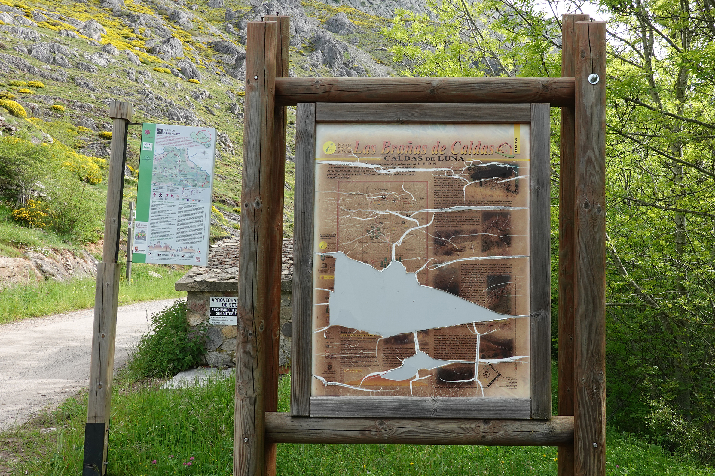
Wanting to spend a day in the mountains between Ovideo and Leon, it was a rather random call to stay at the spa hotel of Balneario Caldas de Luna, plucked from a number of choices on the internet. I’d done very little research, assuming that its magnificent situation would mean ready access to lots of walking trails. There turned out to be just one—Las Brañas de Caldas—with an unpromising, rather dilapidated information board. I’d bought a couple of 1:50,000 maps in Oviedo (one wasn’t sufficient because Caldas de Luna was inevitably right on the join between two—isn’t that always the case?), but they didn’t look like being of any great help in navigation. By the way, the more recent board is for the long-distance mountain bike trail traversing the length of the Babia y Luna National Park, one end of which starts here.
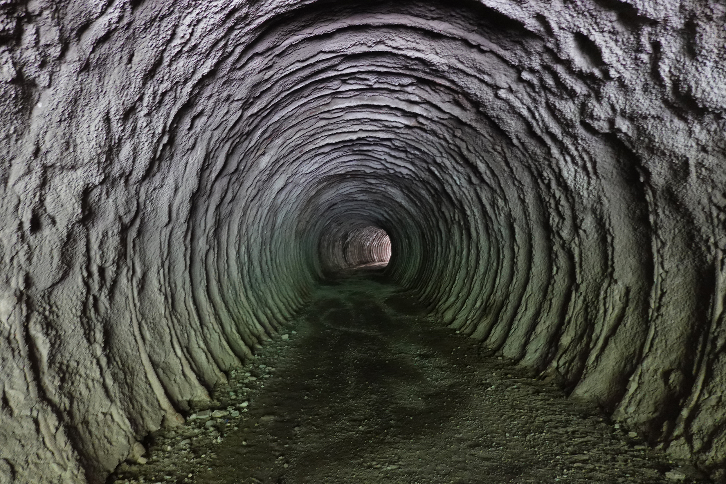
Leaving the small car park just north of the spa hotel, the gravel track soon disappears into a tunnel under the AP-66 Highway. Fortunately, the motorway soon disappears into a much bigger tunnel, so although this major thoroughfare is never far away (mostly directly below), it doesn’t detract from the enjoyment of the scenery. And the scenery is truly incredible. Completely by accident, we stumbled upon a gem of a walk—which is what has motivated me to put this piece together. I doubt it’s well known and some guidance might prove helpful. Signposts on the ground are sparse and confusing. The trail is also indistinct and overgrown in places.
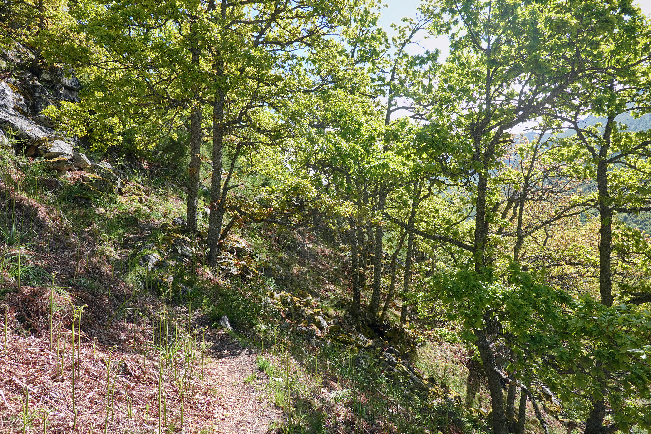
Shortly beyond this tunnel, the track passes back under the motorway through a smaller one to where a choice has to be made as to which direction to walk the circular loop. To the left is a long gradual climb on a good track. To the right, another good track leads to a steeper, rougher climb, meaning that the later walking is easier. For no good reason, we chose the latter, doing the circuit anti-clockwise. It’s easy to go wrong right away if one’s not careful. After going back over the motorway, just as it disappears into the mountain, you need to take a left onto a lesser track within about two-hundred yards. A signpost can be seen about fifty yards away, pointing back in the direction you’ve just come. Take a sharp right back on yourself there and you’re on the trail proper, climbing gradually through beech forest and oak groves.
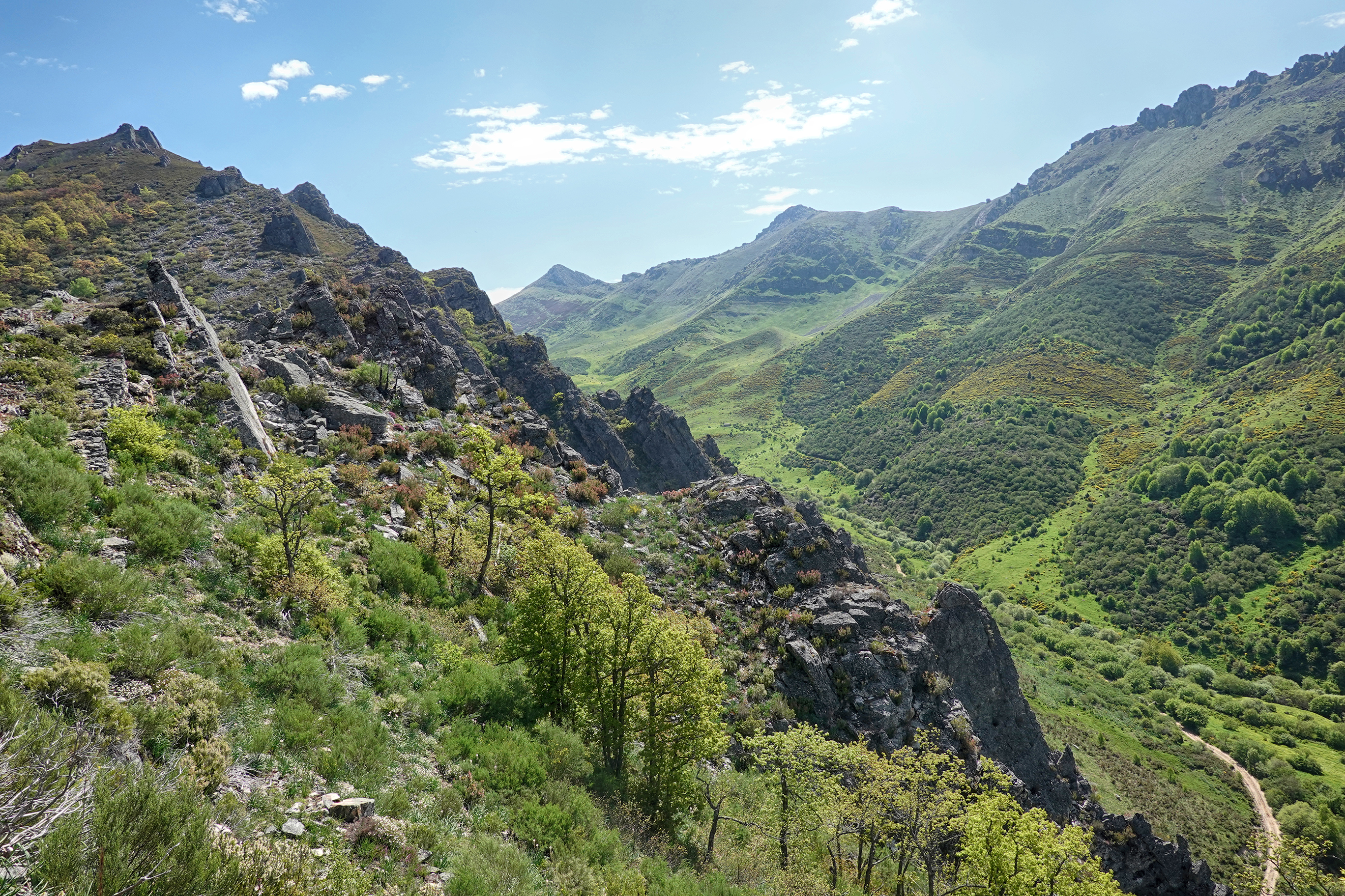
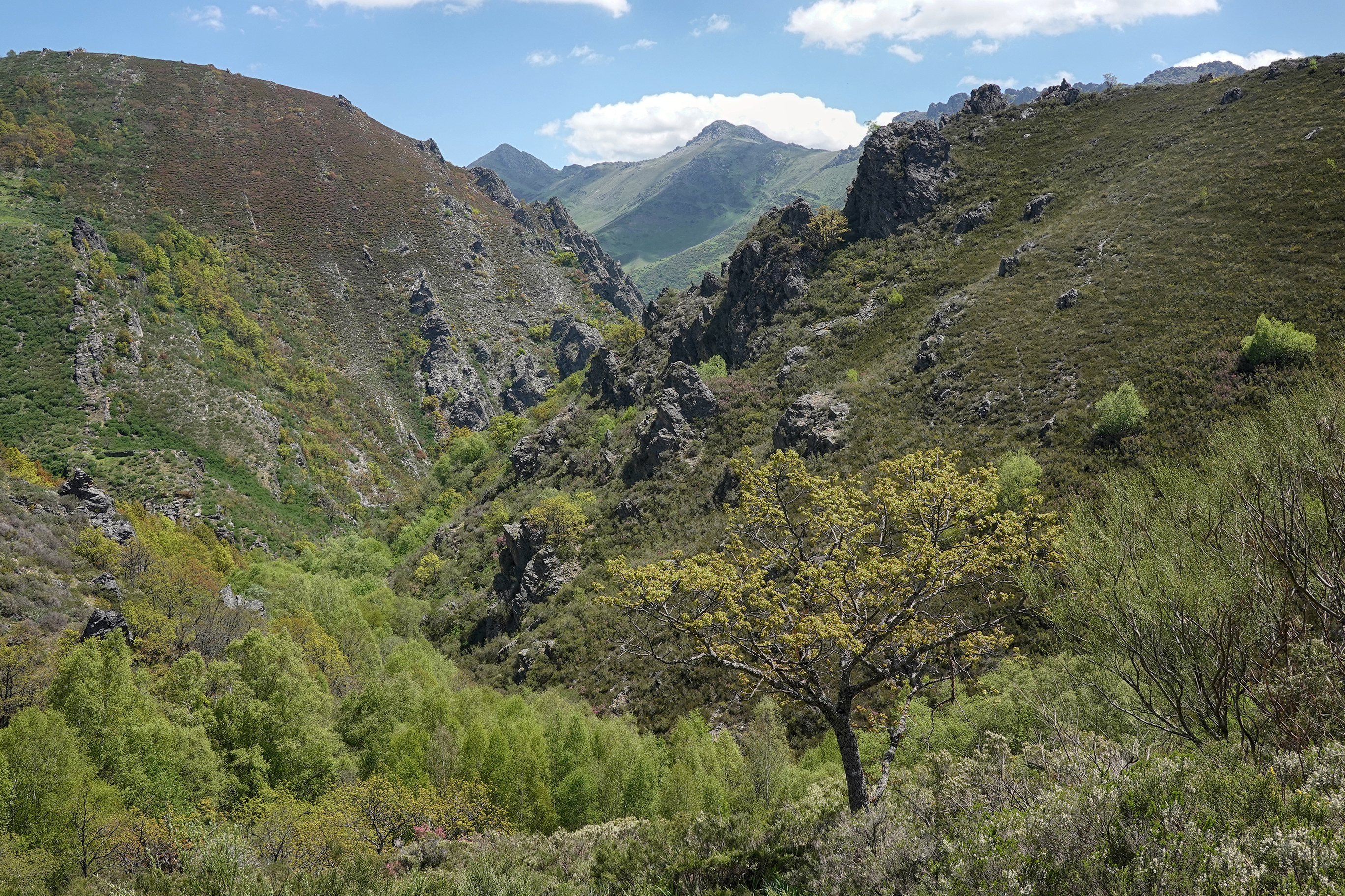
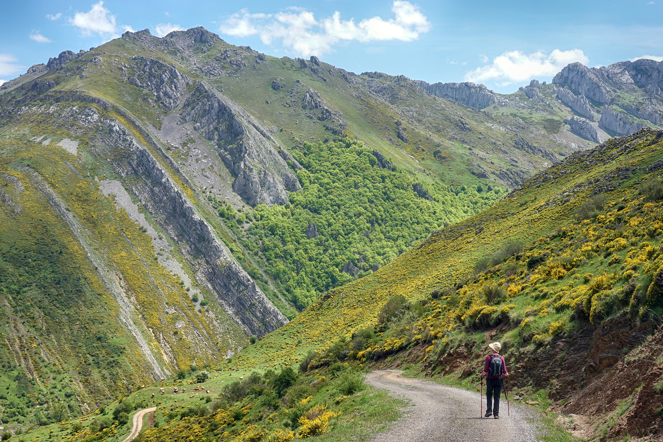
Before long, the trail rises above the trees and opens out to reveal fabulous views across the Carrio valley. The ridgeline to our right, looking east, is spectacular and I soon had an eye to the summit situated centre right in the photograph (Pico de la Brazosa, 1937m), which looks like it can be climbed easily (albeit steeply!) from the valley bottom.
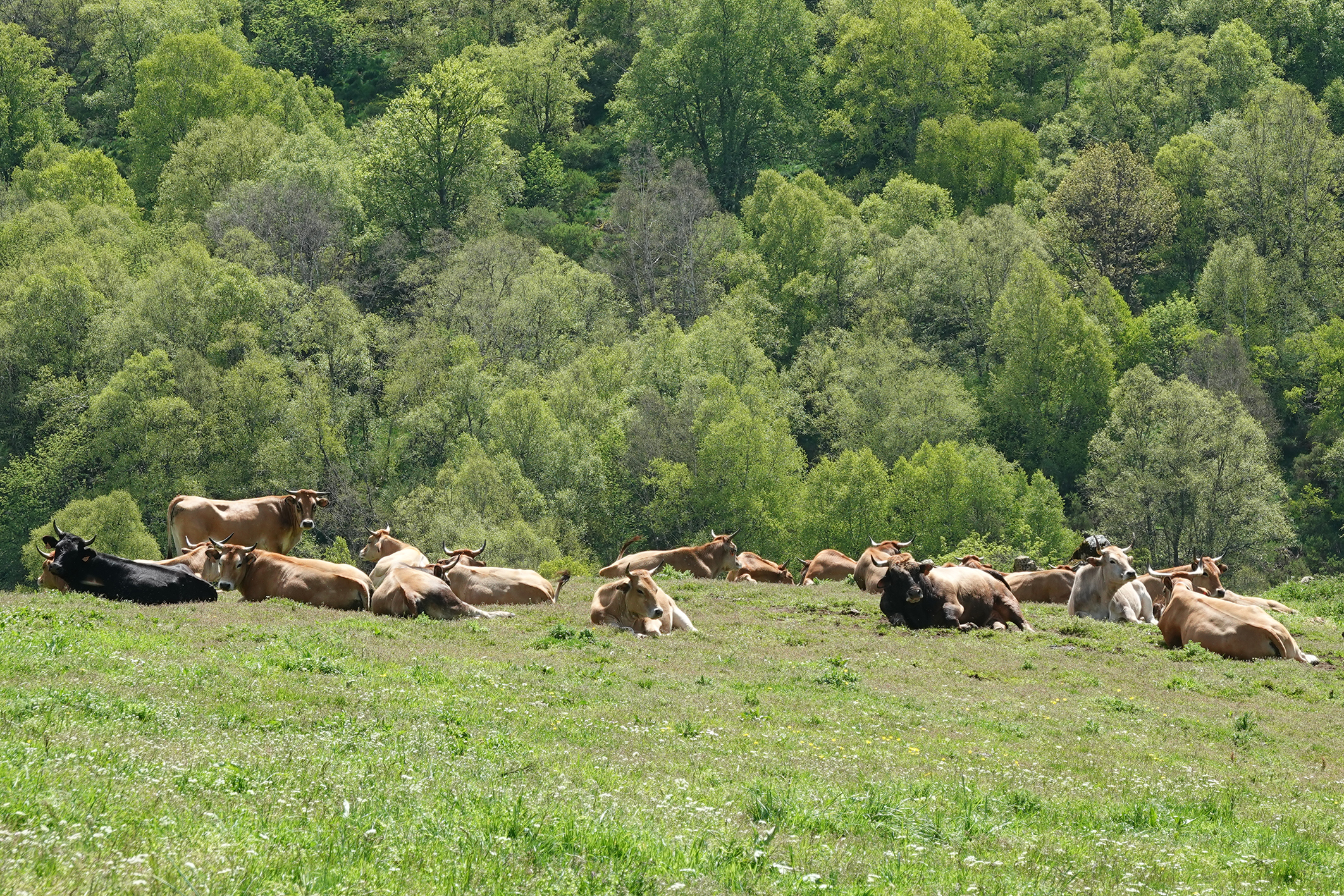
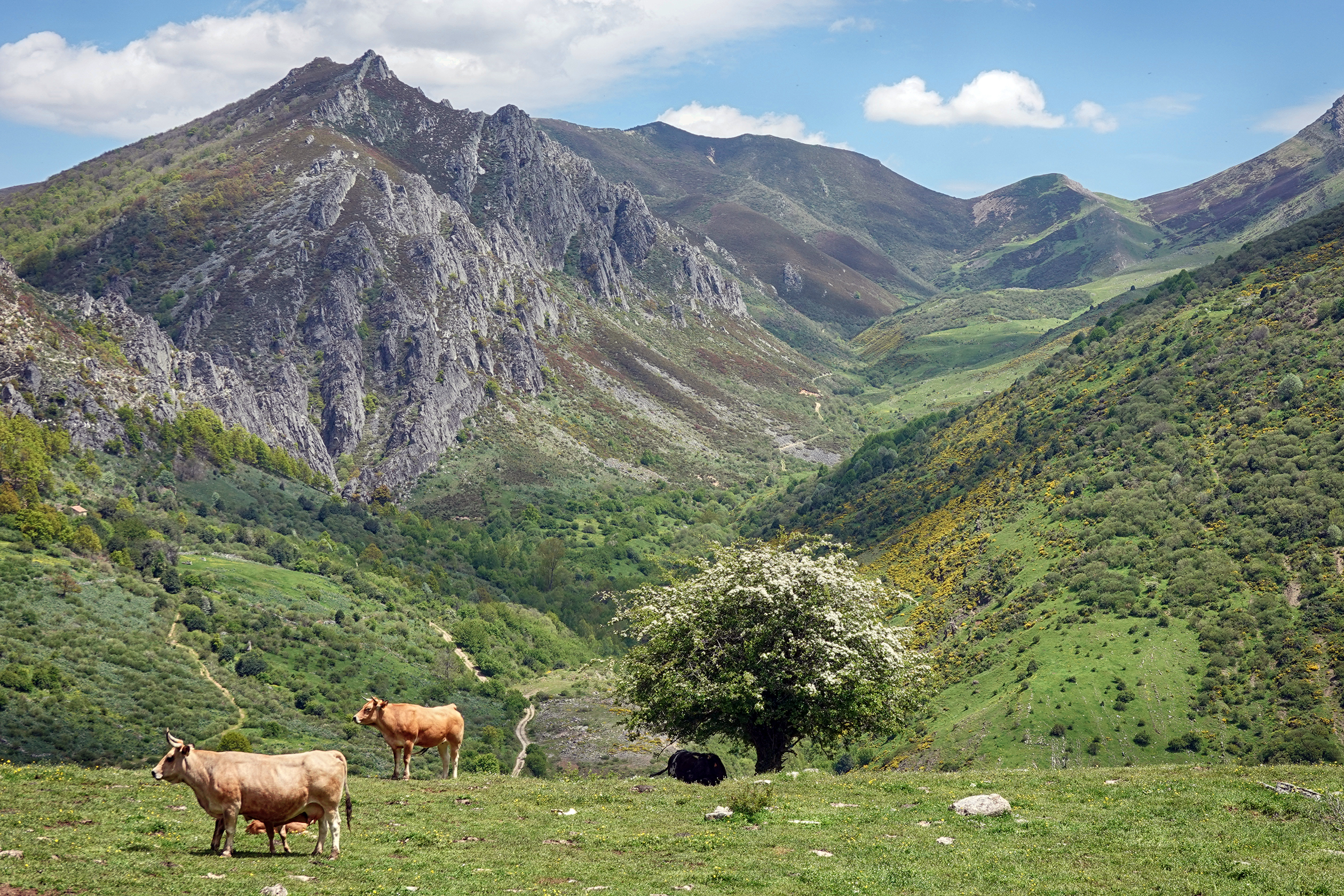
Our trail continues to the first Braña, the local name for a high-altitude meadow or pasture. They are typically used for seasonal grazing of livestock, especially during the summer months when the lower valleys become too hot and dry. Shepherds traditionally move their flocks between different grazing areas throughout the year. We found a herd of cattle.
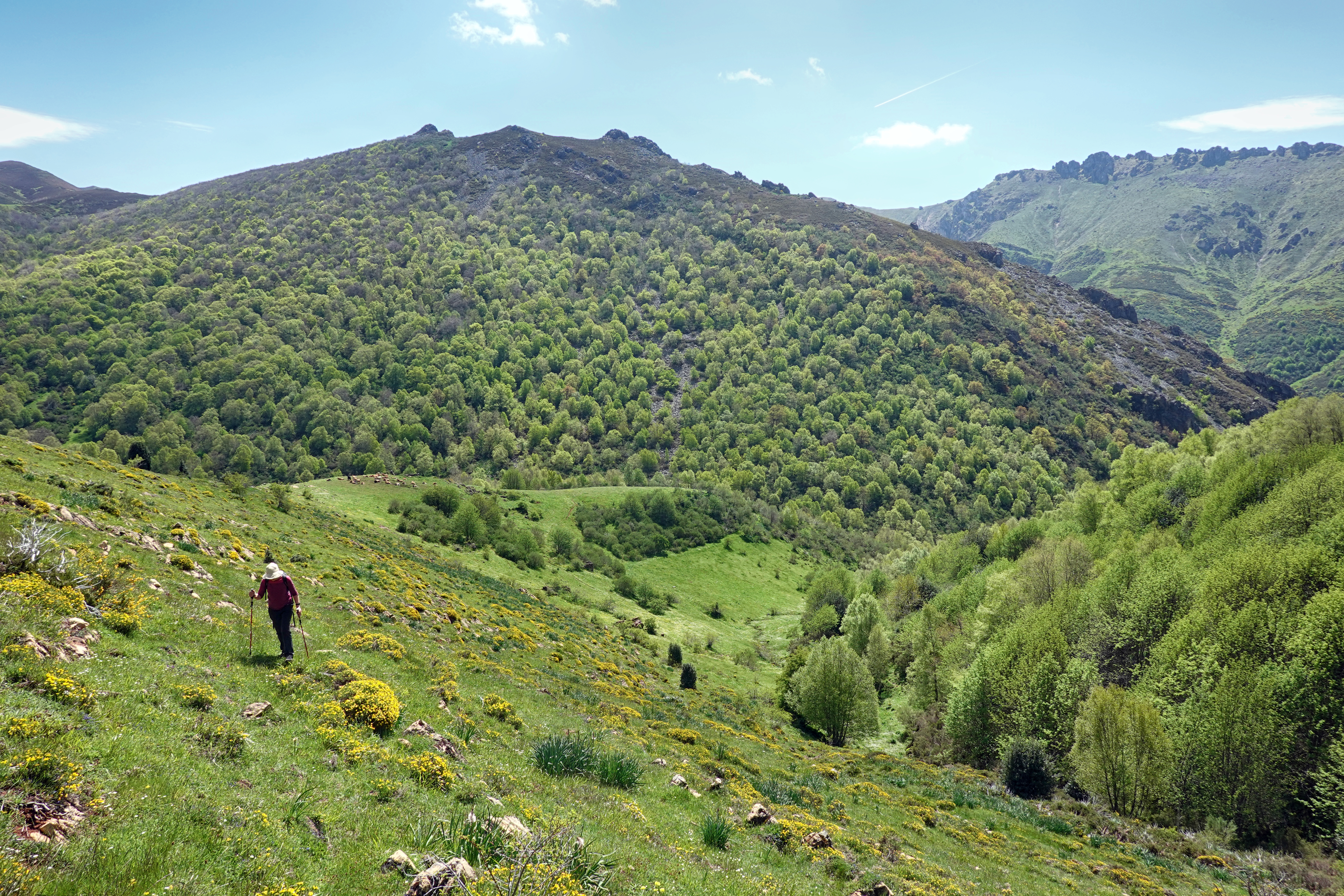
The trail disappeared at this point and without a map, or any noticeable signposting, it was necessary to resort to technology to find our way. A number of GPS routes were on WikiLoc and following one of those led us in the right direction. A warning here that care is needed following these recorded walks. It’s important to remember that you’re merely following where someone else has been and not necessarily the correct route! We followed up through stands of Greater Birds-foot Trefoil. This flower is to be seen everywhere around this limestone landscape, providing an astonishing blaze of colour.
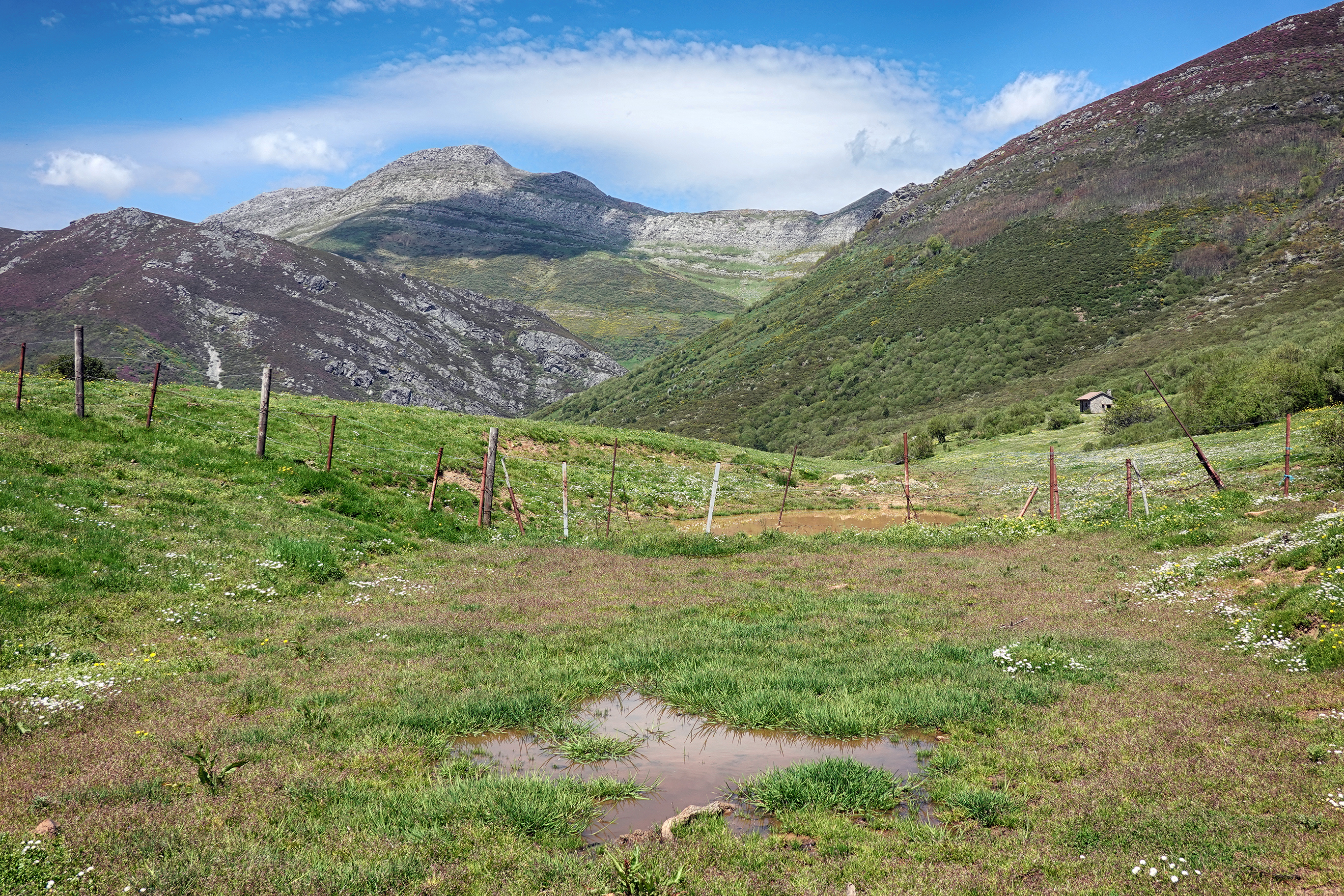
It was only a short climb to the high point of the circuit at La Divisa, where there is a corral for cattle and a great view towards Pico Cirbanal (2077m) . It was necessary to have to duck under the barbed-wire fence here.
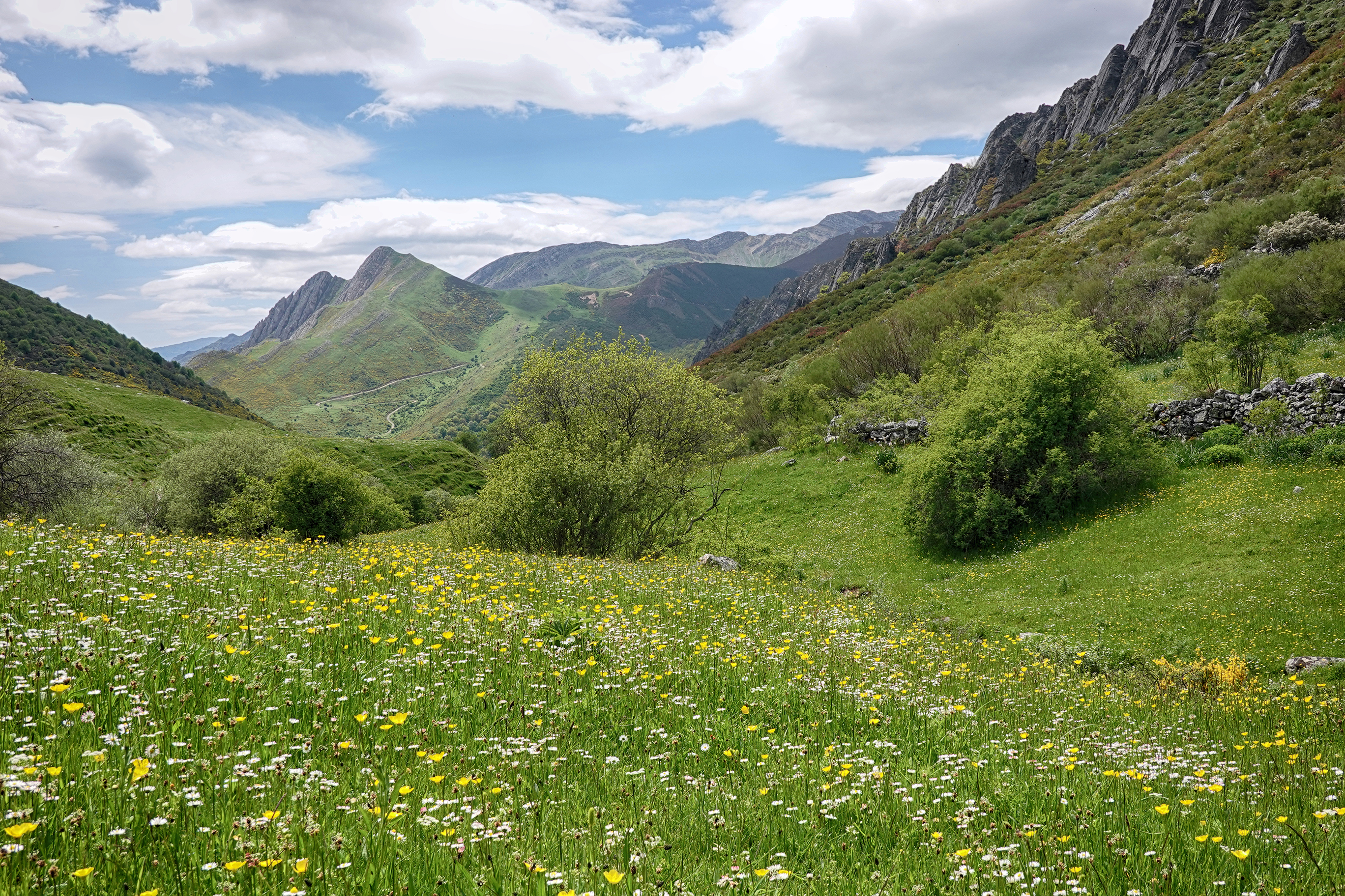
Past the refuge, there is a good dirt road, leading through beautiful buttercup and daisy-filled meadows. The route of our descent can be seen in the distance.
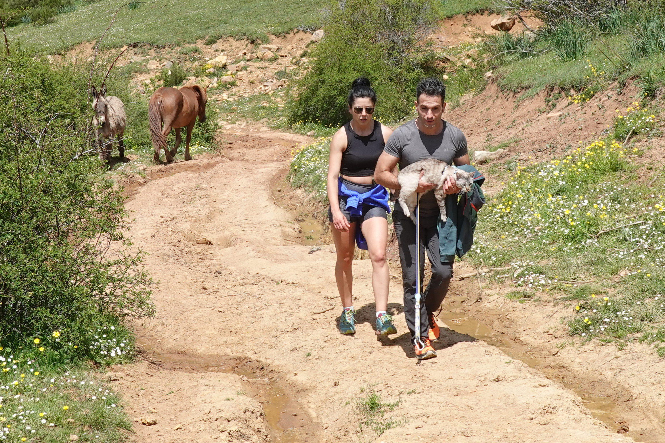
All the way around we only saw two other people, slightly surprising for a beautiful Saturday in May. What was more surprising is that they had their cat with them! In 50 years of walking in the hills, indeed walking anywhere in the countryside, I’ve never before seen anyone accompanied by a cat. It had a lead but presumably had got tired and needed carrying. Sadly, neither the couple’s English, nor our Spanish, was good enough to get an explanation.
The dirt road becomes a gravel track and, enjoying the spectacular views and the easy walking, we missed the turn to the official route which passes through further Brañas, somewhere amidst the area below. I doubt there was a signpost to help.
It doesn’t matter. The track takes a high level route to the same place and although perhaps not so pretty, will offer better views of the surrounding mountains. I continued to be seduced by Pico de la Brazosa, framed perfectly here on the far ridgeline.
At this point we didn’t even know that we’d gone wrong. It was only when back home and compiling this piece, doing some research, when I realised. It’s good. First, it means I have to go back and do it again, properly. Second, I got a great sight of where I was going to be walking/running later.

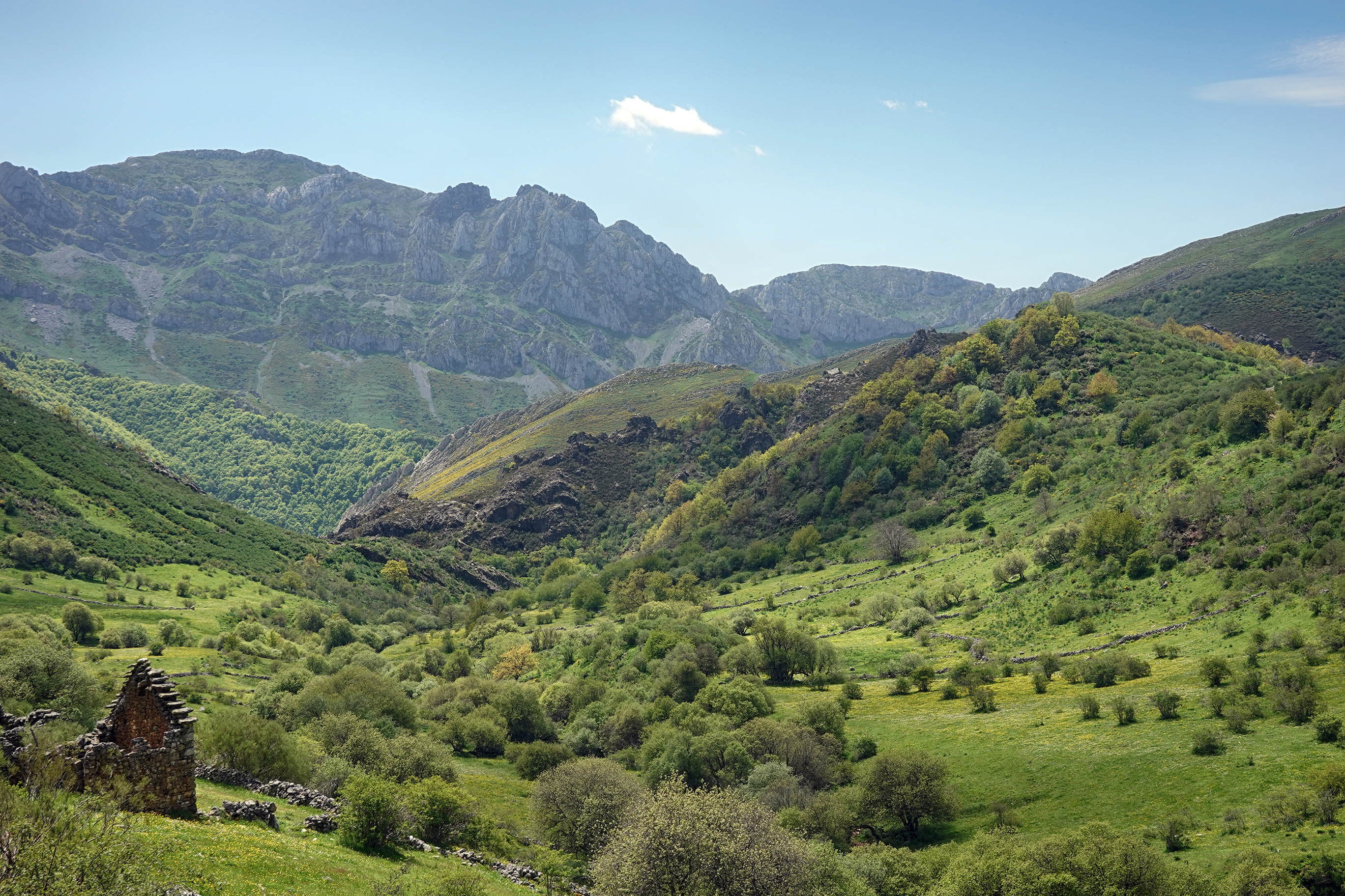
Staying on the main track, the second half of the loop was very straightforward, with stunning views of this incredible geological formation, which had been attracting my eye ever since we arrived. The motorway (just out of sight) passes right underneath.
Almost back at the end of the loop, I’ve included the photograph below to indicate the start of the route. It’s important to be on the leftmost of those two tracks that are visible bottom left. The walk was about 7 miles and 1200ft of climb. Allow 3-4 hours and be prepared to spend a little time finding the way. It’s worth it … as I hope you can see.
A little later, I took that path on the right to gain access to my mountain. From near the summit of Pico de la Brazosa, this was the view back down to where we’d just been walking. It was a grand day out. The Picos is like a not-so-mini Dolomites, but without any of the infrastructure and the thousands of people!

